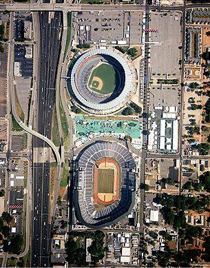
Extensive Aerial Mapping Services
Reliable Remote Sensing Services
Metro Engineering & Surveying provides a wide range of remote sensing.
Weather your need is the Capture and Processing of Lidar and Digital Imagery or simple traditional color film imagery.
We provide the right aerial mapping solutions whether it's a private or public sector project.
Wide-Range of Aerial Mapping Services
From providing developers with photography to mapping used in designing wetland banks, you can count on us for different kinds of aerial mapping services including:
- LiDAR Mapping
- Digital Aerial Photography
- Color Aerial Film Photography
- Infrared Aerial Film Photography
- Orthophotography and Mosaics
- Wetland Mapping
- Digital Mapping
- Analytical Triangulation
- Planimetric Mapping
- Topographic Contour Mapping
- Stockpile Volumetric Calculations
- GIS Compilation
- Data editing and customization
- LiDAR Calibration
- LiDAR Classification
- Aero-Triangulation
- Terrain Modeling
- Manufacturing Plants
- Digital Terrain Model (DTM)
- Digital Elevation Model (DEM)

Superior Aerial Mapping Products and Services for Utility and Transportation Industries
- Photo Geo-referencing
- Emergency Response Services
- Rapid Response Services
- Utility Surveys
- Cadastral Surveys Mapping
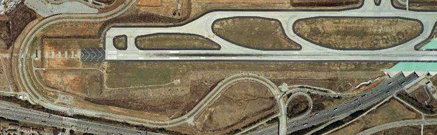
- Airport Facility Mapping
For
FREE Estimates on our aerial mapping services, call us at 770-707-0777. Our workplace is a certified drug-free place.